
锡林街道 topographic map
Interactive map
Click on the map to display elevation.
About this map
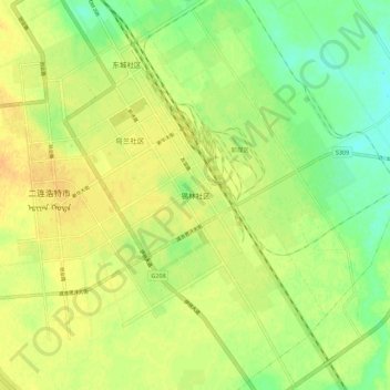
Name: 锡林街道 topographic map, elevation, terrain.
Location: 锡林街道, Erenhot, Innere Mongolei, China (43.60162 111.94497 43.68162 112.02497)
Average elevation: 962 m
Minimum elevation: 945 m
Maximum elevation: 974 m