
Bouraoui Belhadef topographic map
Interactive map
Click on the map to display elevation.
About this map
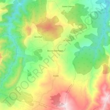
Name: Bouraoui Belhadef topographic map, elevation, terrain.
Location: Bouraoui Belhadef, Daïra El Ancer, Jijel, Algérie (36.64956 6.04321 36.74152 6.15971)
Average elevation: 553 m
Minimum elevation: 97 m
Maximum elevation: 1,225 m