
花石峡 topographic map
Interactive map
Click on the map to display elevation.
About this map
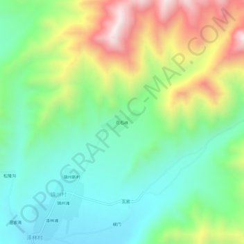
Name: 花石峡 topographic map, elevation, terrain.
Location: 花石峡, 锦州村, 互助土族自治县, 海东市, 青海省, 中国 (36.85626 102.12945 36.89626 102.16945)
Average elevation: 3,164 m
Minimum elevation: 2,894 m
Maximum elevation: 3,675 m