
Las Flores topographic map
Interactive map
Click on the map to display elevation.
About this map
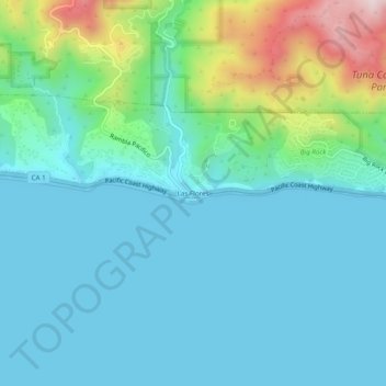
Name: Las Flores topographic map, elevation, terrain.
Location: Las Flores, Los Angeles County, California, Estados Unidos (34.01723 -118.65592 34.05723 -118.61592)
Average elevation: 101 m
Minimum elevation: 0 m
Maximum elevation: 515 m