
Kuikhorne topographic map
Interactive map
Click on the map to display elevation.
About this map
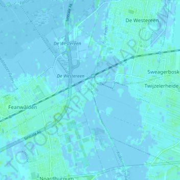
Name: Kuikhorne topographic map, elevation, terrain.
Location: Kuikhorne, Dantumadiel, Friesland, Nederland, 9287, Nederland (53.22099 5.99957 53.26099 6.03957)
Average elevation: 1 m
Minimum elevation: -3 m
Maximum elevation: 5 m