
Thank you for supporting this site ❤️
Make a donation
Make a donation
Frères topographic map
Click on the map to display elevation.
Thank you for supporting this site ❤️
Make a donation
Make a donation
About this map
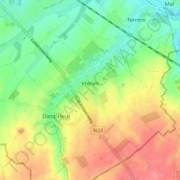
Name: Frères topographic map, elevation, terrain.
Location: Frères, Tongres, Limbourg, Flandre, Belgique (50.73142 5.46842 50.76973 5.51775)
Average elevation: 113 m
Minimum elevation: 82 m
Maximum elevation: 149 m
Thank you for supporting this site ❤️
Make a donation
Make a donation
Other topographic maps
Click on a map to view its topography, its elevation and its terrain.