
Britten topographic map
Interactive map
Click on the map to display elevation.
About this map
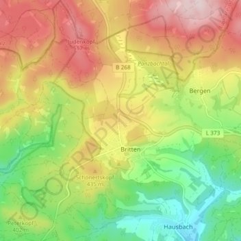
Name: Britten topographic map, elevation, terrain.
Average elevation: 394 m
Minimum elevation: 236 m
Maximum elevation: 570 m
Other topographic maps
Click on a map to view its topography, its elevation and its terrain.
Scheiden
Deutschland > Saarland > Losheim am See
Scheiden, Losheim am See, Landkreis Merzig-Wadern, Saarland, Deutschland
Average elevation: 489 m