
Lambert topographic map
Interactive map
Click on the map to display elevation.
About this map
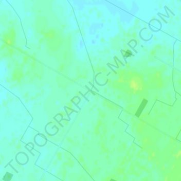
Name: Lambert topographic map, elevation, terrain.
Location: Lambert, North Perth, Perth County, Ontario, Canada (43.57203 -81.00903 43.59203 -80.98903)
Average elevation: 364 m
Minimum elevation: 359 m
Maximum elevation: 372 m