
曹州牡丹园 topographic map
Interactive map
Click on the map to display elevation.
About this map
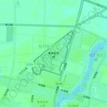
Name: 曹州牡丹园 topographic map, elevation, terrain.
Location: 曹州牡丹园, 牡丹街道, 牡丹区, 菏泽市, 山东省, 中国 (35.27571 115.48517 35.28690 115.49798)
Average elevation: 52 m
Minimum elevation: 48 m
Maximum elevation: 54 m