
Thank you for supporting this site ❤️
Make a donation
Make a donation
Ivory Mill topographic map
Click on the map to display elevation.
Thank you for supporting this site ❤️
Make a donation
Make a donation
About this map
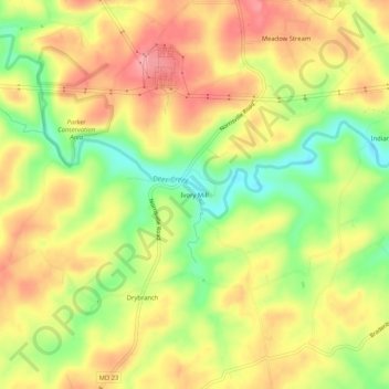
Name: Ivory Mill topographic map, elevation, terrain.
Location: Ivory Mill, Harford County, Maryland, United States (39.65427 -76.55636 39.69427 -76.51636)
Average elevation: 183 m
Minimum elevation: 125 m
Maximum elevation: 230 m
Thank you for supporting this site ❤️
Make a donation
Make a donation