
Kauman topographic map
Interactive map
Click on the map to display elevation.
About this map
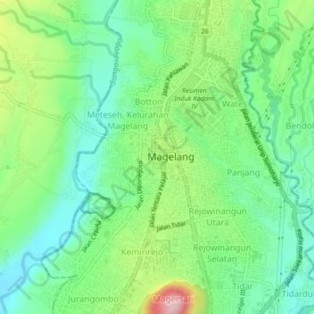
Name: Kauman topographic map, elevation, terrain.
Location: Kauman, Kota Magelang, Zentral-Java, 56122, Indonesien (-7.49719 110.19643 -7.45719 110.23643)
Average elevation: 363 m
Minimum elevation: 297 m
Maximum elevation: 496 m