
Thank you for supporting this site ❤️
Make a donation
Make a donation
Jalapa topographic map
Click on the map to display elevation.
Thank you for supporting this site ❤️
Make a donation
Make a donation
About this map
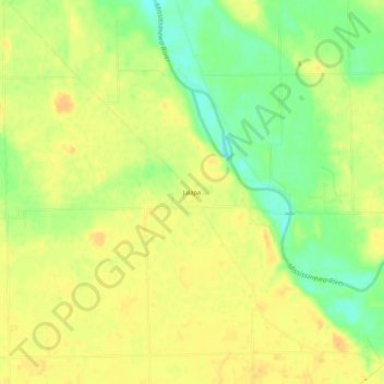
Name: Jalapa topographic map, elevation, terrain.
Location: Jalapa, Grant County, Indiana, United States (40.60775 -85.76536 40.64775 -85.72536)
Average elevation: 247 m
Minimum elevation: 228 m
Maximum elevation: 258 m
Thank you for supporting this site ❤️
Make a donation
Make a donation
Other topographic maps
Click on a map to view its topography, its elevation and its terrain.