
Thank you for supporting this site ❤️
Make a donation
Make a donation
Haripurwa topographic map
Click on the map to display elevation.
Thank you for supporting this site ❤️
Make a donation
Make a donation
About this map
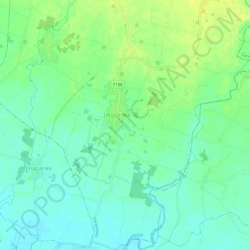
Name: Haripurwa topographic map, elevation, terrain.
Location: Haripurwa, Sarlahi, Province #2, 45800, Nepal (26.87085 85.66743 26.91581 85.70937)
Average elevation: 97 m
Minimum elevation: 88 m
Maximum elevation: 107 m
Thank you for supporting this site ❤️
Make a donation
Make a donation