
Schatten topographic map
Interactive map
Click on the map to display elevation.
About this map
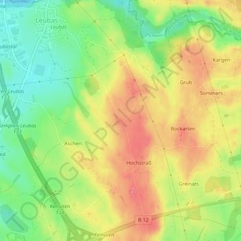
Name: Schatten topographic map, elevation, terrain.
Location: Schatten, Kempten (Allgäu), Bayern, Deutschland (47.75310 10.34679 47.75444 10.34862)
Average elevation: 725 m
Minimum elevation: 686 m
Maximum elevation: 760 m