
Gurna topographic map
Interactive map
Click on the map to display elevation.
About this map
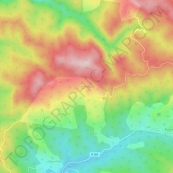
Name: Gurna topographic map, elevation, terrain.
Location: Gurna, Tqibuli Municipality, Imereti, Georgia (42.38685 42.84196 42.42685 42.88196)
Average elevation: 547 m
Minimum elevation: 350 m
Maximum elevation: 756 m