
Bloomington topographic map
Interactive map
Click on the map to display elevation.
About this map
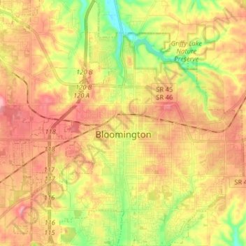
Name: Bloomington topographic map, elevation, terrain.
Location: Bloomington, Monroe County, Indiana, USA (39.12133 -86.59189 39.22136 -86.47113)
Average elevation: 241 m
Minimum elevation: 177 m
Maximum elevation: 293 m