
Lorain topographic map
Interactive map
Click on the map to display elevation.
About this map
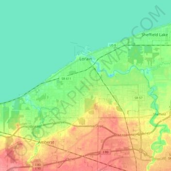
Name: Lorain topographic map, elevation, terrain.
Location: Lorain, Lorain County, Ohio, Estados Unidos de América (41.40472 -82.29214 41.48522 -82.10200)
Average elevation: 192 m
Minimum elevation: 164 m
Maximum elevation: 243 m