
Gannaram topographic map
Interactive map
Click on the map to display elevation.
About this map
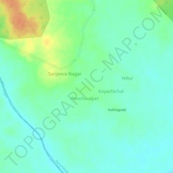
Name: Gannaram topographic map, elevation, terrain.
Location: Gannaram, Penchikalpet mandal, Komram Bheem, Telangana, India (19.24712 79.75305 19.28712 79.79305)
Average elevation: 141 m
Minimum elevation: 129 m
Maximum elevation: 166 m