
Thank you for supporting this site ❤️
Make a donation
Make a donation
Muno topographic map
Click on the map to display elevation.
Thank you for supporting this site ❤️
Make a donation
Make a donation
About this map
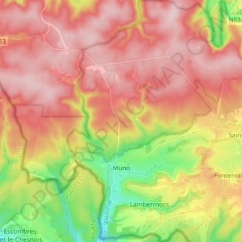
Name: Muno topographic map, elevation, terrain.
Location: Muno, Florenville, Virton, Luxembourg, Wallonie, Belgique (49.69195 5.14709 49.77551 5.22068)
Average elevation: 340 m
Minimum elevation: 198 m
Maximum elevation: 445 m
Thank you for supporting this site ❤️
Make a donation
Make a donation
Other topographic maps
Click on a map to view its topography, its elevation and its terrain.