
L'Arbiette topographic map
Interactive map
Click on the map to display elevation.
About this map
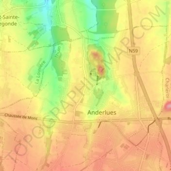
Name: L'Arbiette topographic map, elevation, terrain.
Location: L'Arbiette, Anderlues, Thuin, Hainaut, Wallonie, 6150, Belgique (50.39406 4.24411 50.43406 4.28411)
Average elevation: 174 m
Minimum elevation: 108 m
Maximum elevation: 223 m
Other topographic maps
Click on a map to view its topography, its elevation and its terrain.
Les Trieux
Belgique > Hainaut > Thuin > Anderlues
Les Trieux, Anderlues, Thuin, Hainaut, Wallonie, 6150, Belgique
Average elevation: 174 m