
Denton topographic map
Interactive map
Click on the map to display elevation.
About this map
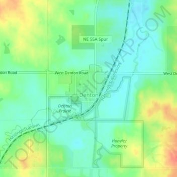
Name: Denton topographic map, elevation, terrain.
Location: Denton, Lancaster County, Nebraska, United States (40.73518 -96.85027 40.74252 -96.84164)
Average elevation: 386 m
Minimum elevation: 368 m
Maximum elevation: 416 m