
Thank you for supporting this site ❤️
Make a donation
Make a donation
Vita topographic map
Click on the map to display elevation.
Thank you for supporting this site ❤️
Make a donation
Make a donation
About this map
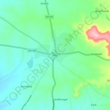
Name: Vita topographic map, elevation, terrain.
Location: Vita, Khanapur, Sangli District, Maharashtra, 415311, India (17.23198 74.49728 17.31198 74.57728)
Average elevation: 697 m
Minimum elevation: 648 m
Maximum elevation: 868 m
Thank you for supporting this site ❤️
Make a donation
Make a donation