
双滦区 topographic map
Interactive map
Click on the map to display elevation.
About this map
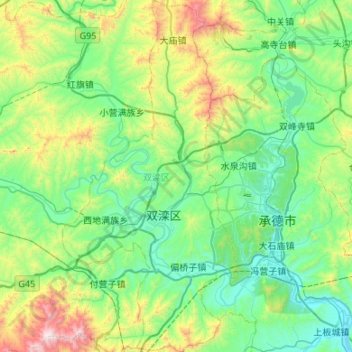
Name: 双滦区 topographic map, elevation, terrain.
Location: 双滦区, 承德市, 河北省, 中国 (40.79852 117.62906 41.20228 117.89421)
Average elevation: 593 m
Minimum elevation: 275 m
Maximum elevation: 1,711 m
Other topographic maps
Click on a map to view its topography, its elevation and its terrain.