
Djnane El Hakem topographic map
Interactive map
Click on the map to display elevation.
About this map
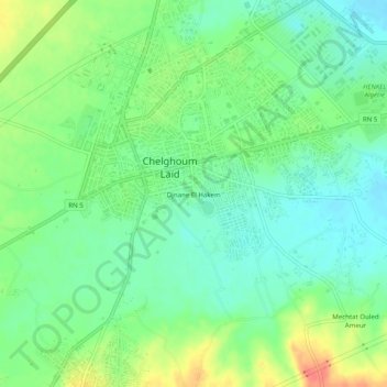
Name: Djnane El Hakem topographic map, elevation, terrain.
Average elevation: 769 m
Minimum elevation: 749 m
Maximum elevation: 803 m
Other topographic maps
Click on a map to view its topography, its elevation and its terrain.
Ouled Smayel
Algérie > Mila > Daïra Chelghoum Laïd > Chelghoum Laïd
Ouled Smayel, Chelghoum Laïd, Daïra Chelghoum Laïd, Mila, 43200, Algérie
Average elevation: 758 m