
四道沟梁 topographic map
Interactive map
Click on the map to display elevation.
About this map
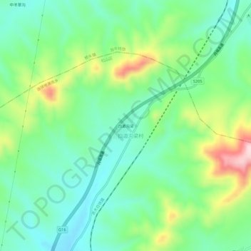
Name: 四道沟梁 topographic map, elevation, terrain.
Location: 四道沟梁, 四道沟梁村, 当铺地满族乡, 松山区, 赤峰市, 内蒙古自治区, 中国 (42.50938 118.84770 42.54938 118.88770)
Average elevation: 810 m
Minimum elevation: 722 m
Maximum elevation: 1,006 m