
Thank you for supporting this site ❤️
Make a donation
Make a donation
Bowling Green topographic map
Click on the map to display elevation.
Thank you for supporting this site ❤️
Make a donation
Make a donation
About this map
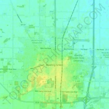
Name: Bowling Green topographic map, elevation, terrain.
Location: Bowling Green, Wood County, Ohio, United States (41.34884 -83.69860 41.41460 -83.59996)
Average elevation: 207 m
Minimum elevation: 201 m
Maximum elevation: 219 m
Thank you for supporting this site ❤️
Make a donation
Make a donation
Other topographic maps
Click on a map to view its topography, its elevation and its terrain.