
Thank you for supporting this site ❤️
Make a donation
Make a donation
Herat topographic map
Click on the map to display elevation.
Thank you for supporting this site ❤️
Make a donation
Make a donation
About this map
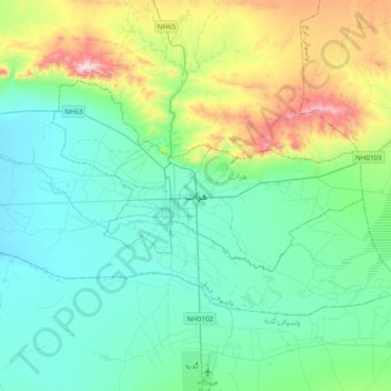
Name: Herat topographic map, elevation, terrain.
Location: Herat, Herat Province, 3005, Afghanistan (34.19083 62.05640 34.51083 62.37640)
Average elevation: 1,042 m
Minimum elevation: 882 m
Maximum elevation: 1,623 m
Thank you for supporting this site ❤️
Make a donation
Make a donation