
Grotte de la Plage du Ry n° 2 topographic map
Interactive map
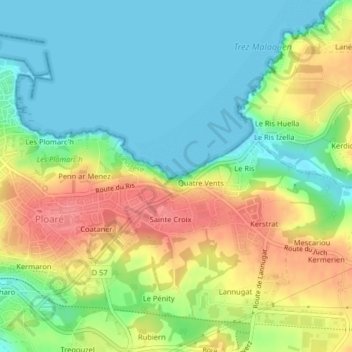
Click on the map to display elevation.
About this map
Name: Grotte de la Plage du Ry n° 2 topographic map, elevation, terrain.
Average elevation: 31 m
Minimum elevation: 0 m
Maximum elevation: 78 m