
Thank you for supporting this site ❤️
Make a donation
Make a donation
Stoney Stanton topographic map
Click on the map to display elevation.
Thank you for supporting this site ❤️
Make a donation
Make a donation
About this map
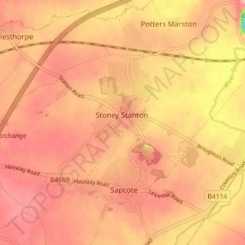
Name: Stoney Stanton topographic map, elevation, terrain.
Location: Stoney Stanton, Blaby, Leicestershire, England, United Kingdom (52.53324 -1.30938 52.56072 -1.24662)
Average elevation: 87 m
Minimum elevation: 8 m
Maximum elevation: 117 m
Thank you for supporting this site ❤️
Make a donation
Make a donation