
耿马傣族佤族自治县 topographic map
Interactive map
Click on the map to display elevation.
About this map
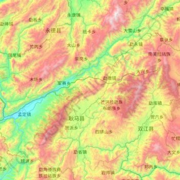
Name: 耿马傣族佤族自治县 topographic map, elevation, terrain.
Location: 耿马傣族佤族自治县, Lincang, Yunnan, 665000, China (23.34871 98.80181 24.03017 99.90181)
Average elevation: 1,556 m
Minimum elevation: 475 m
Maximum elevation: 3,479 m