
Birkenkopf topographic map
Interactive map
Click on the map to display elevation.
About this map
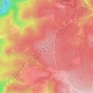
Name: Birkenkopf topographic map, elevation, terrain.
Average elevation: 456 m
Minimum elevation: 254 m
Maximum elevation: 523 m
Other topographic maps
Click on a map to view its topography, its elevation and its terrain.
Warnstedt
Deutschland > Sachsen-Anhalt > Thale
Warnstedt, Thale, Landkreis Harz, Sachsen-Anhalt, Deutschland
Average elevation: 170 m