
Amaâdhi topographic map
Interactive map
Click on the map to display elevation.
About this map
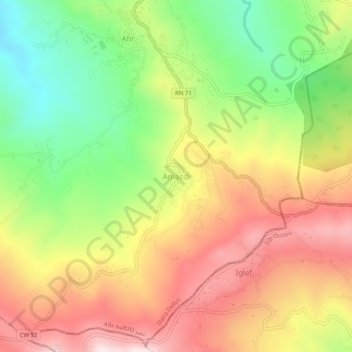
Name: Amaâdhi topographic map, elevation, terrain.
Location: Amaâdhi, Afir, Daïra Dellys, Boumerdès, 35022, Algérie (36.80668 3.97402 36.84668 4.01402)
Average elevation: 428 m
Minimum elevation: 151 m
Maximum elevation: 707 m