
Thank you for supporting this site ❤️
Make a donation
Make a donation
Onna topographic map
Click on the map to display elevation.
Thank you for supporting this site ❤️
Make a donation
Make a donation
About this map
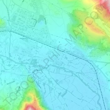
Name: Onna topographic map, elevation, terrain.
Location: Onna, L'Aquila, 67040, Italy (42.30785 13.45975 42.34785 13.49975)
Average elevation: 614 m
Minimum elevation: 569 m
Maximum elevation: 856 m
Thank you for supporting this site ❤️
Make a donation
Make a donation