
Metarfa topographic map
Interactive map
Click on the map to display elevation.
About this map
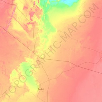
Name: Metarfa topographic map, elevation, terrain.
Location: Metarfa, Daïra Aougrout, Timimoune, Algérie (28.38192 -0.26495 28.75343 0.39581)
Average elevation: 263 m
Minimum elevation: 176 m
Maximum elevation: 334 m