
Thank you for supporting this site ❤️
Make a donation
Make a donation
Debdeb topographic map
Click on the map to display elevation.
Thank you for supporting this site ❤️
Make a donation
Make a donation
About this map
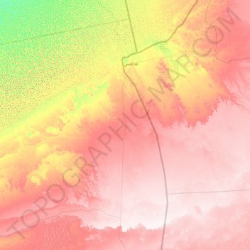
Name: Debdeb topographic map, elevation, terrain.
Location: Debdeb, Daïra d'In Amenas, Illizi, 33200, Algérie (28.46972 7.08631 30.55904 9.90231)
Average elevation: 464 m
Minimum elevation: 190 m
Maximum elevation: 732 m
Thank you for supporting this site ❤️
Make a donation
Make a donation
Other topographic maps
Click on a map to view its topography, its elevation and its terrain.