
兵团一六六团 topographic map
Interactive map
Click on the map to display elevation.
About this map
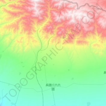
Name: 兵团一六六团 topographic map, elevation, terrain.
Location: 兵团一六六团, 第九师, 额敏县, Regierungsbezirk Tacheng, Xinjiang, China (46.71092 83.50664 47.04401 83.74310)
Average elevation: 1,378 m
Minimum elevation: 665 m
Maximum elevation: 2,849 m