
Site gallo-romain de Chameleux topographic map
Interactive map
Click on the map to display elevation.
About this map
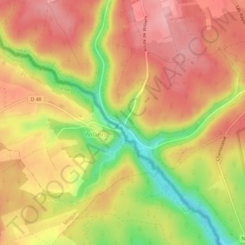
Name: Site gallo-romain de Chameleux topographic map, elevation, terrain.
Average elevation: 314 m
Minimum elevation: 236 m
Maximum elevation: 361 m
Other topographic maps
Click on a map to view its topography, its elevation and its terrain.
Orval
Belgique > Luxembourg > Virton > Florenville
Orval, Villers-devant-Orval, Florenville, Virton, Luxembourg, Wallonie, 6823, Belgique
Average elevation: 252 m