
Hægeland topographic map
Interactive map
Click on the map to display elevation.
About this map
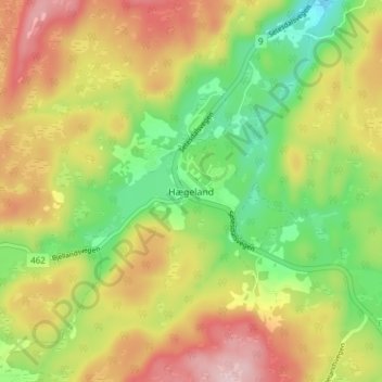
Name: Hægeland topographic map, elevation, terrain.
Location: Hægeland, Vennesla, Agder, 4720, Norvège (58.36343 7.72134 58.40343 7.76134)
Average elevation: 289 m
Minimum elevation: 169 m
Maximum elevation: 423 m