
田心 Tin Sam topographic map
Interactive map
Click on the map to display elevation.
About this map
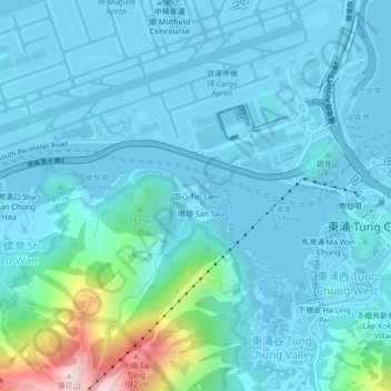
Name: 田心 Tin Sam topographic map, elevation, terrain.
Location: 田心 Tin Sam, 離島區 Islands District, Hongkong, China (22.26997 113.90087 22.30997 113.94087)
Average elevation: 70 m
Minimum elevation: -16 m
Maximum elevation: 570 m