
Archipel de Molène topographic map
Interactive map
Click on the map to display elevation.
About this map
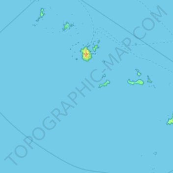
Name: Archipel de Molène topographic map, elevation, terrain.
Average elevation: 0 m
Minimum elevation: 0 m
Maximum elevation: 24 m
Other topographic maps
Click on a map to view its topography, its elevation and its terrain.
Réserve naturelle d'Iroise
France > Bretagne > Île-Molène
Réserve naturelle d'Iroise, La Digue, Île-Molène, Brest, Finistère, Bretagne, France métropolitaine, 29259, France
Average elevation: 0 m