
Lake Waukomis topographic map
Interactive map
Click on the map to display elevation.
About this map
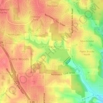
Name: Lake Waukomis topographic map, elevation, terrain.
Location: Lake Waukomis, Platte County, Missouri, United States (39.22592 -94.64726 39.23590 -94.62934)
Average elevation: 298 m
Minimum elevation: 254 m
Maximum elevation: 320 m