
Thank you for supporting this site ❤️
Make a donation
Make a donation
Mont topographic map
Click on the map to display elevation.
Thank you for supporting this site ❤️
Make a donation
Make a donation
About this map
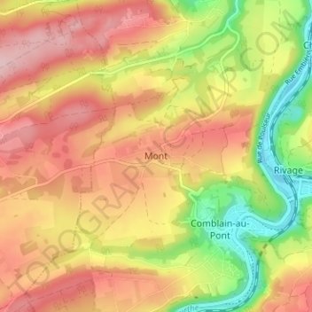
Name: Mont topographic map, elevation, terrain.
Location: Mont, Comblain-au-Pont, Liège, Wallonie, 4170, Belgique (50.46510 5.54191 50.50510 5.58191)
Average elevation: 203 m
Minimum elevation: 92 m
Maximum elevation: 290 m
Thank you for supporting this site ❤️
Make a donation
Make a donation