
Thank you for supporting this site ❤️
Make a donation
Make a donation
Vila Boim topographic map
Click on the map to display elevation.
Thank you for supporting this site ❤️
Make a donation
Make a donation
About this map
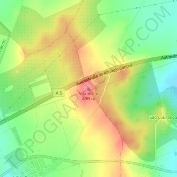
Name: Vila Boim topographic map, elevation, terrain.
Location: Vila Boim, Elvas, Portalegre, 7350-501, Portugal (38.87533 -7.26362 38.87543 -7.26352)
Average elevation: 449 m
Minimum elevation: 407 m
Maximum elevation: 494 m
Thank you for supporting this site ❤️
Make a donation
Make a donation