
Clayton topographic map
Interactive map
Click on the map to display elevation.
About this map
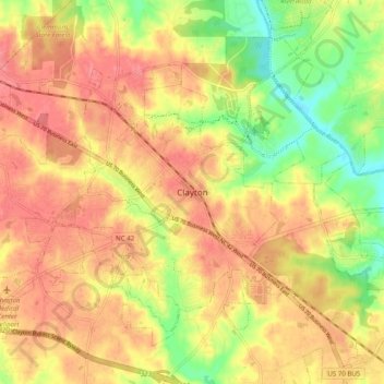
Name: Clayton topographic map, elevation, terrain.
Average elevation: 85 m
Minimum elevation: 40 m
Maximum elevation: 115 m
Other topographic maps
Click on a map to view its topography, its elevation and its terrain.
Brigadoon
United States > North Carolina > Johnston County > Clayton
Brigadoon, Clayton, Johnston County, North Carolina, 27520, United States
Average elevation: 91 m