
Thank you for supporting this site ❤️
Make a donation
Make a donation
Verona topographic map
Click on the map to display elevation.
Thank you for supporting this site ❤️
Make a donation
Make a donation
About this map
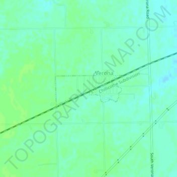
Name: Verona topographic map, elevation, terrain.
Location: Verona, Grundy County, Illinois, United States (41.21284 -88.51137 41.21857 -88.49732)
Average elevation: 192 m
Minimum elevation: 187 m
Maximum elevation: 196 m
Thank you for supporting this site ❤️
Make a donation
Make a donation
Other topographic maps
Click on a map to view its topography, its elevation and its terrain.