
Les Aunois topographic map
Interactive map
Click on the map to display elevation.
About this map
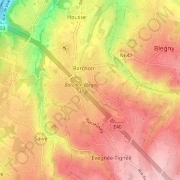
Name: Les Aunois topographic map, elevation, terrain.
Location: Les Aunois, Blegny, Liège, Wallonie, 4670, Belgique (50.64333 5.67915 50.68333 5.71915)
Average elevation: 185 m
Minimum elevation: 57 m
Maximum elevation: 260 m