
Thank you for supporting this site ❤️
Make a donation
Make a donation
Gisting Jaya topographic map
Click on the map to display elevation.
Thank you for supporting this site ❤️
Make a donation
Make a donation
About this map
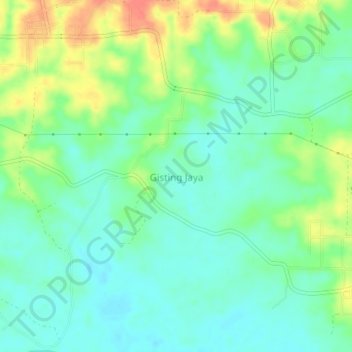
Name: Gisting Jaya topographic map, elevation, terrain.
Location: Gisting Jaya, Way Kanan, Lampung, Indonesia (-4.37348 104.90387 -4.33348 104.94387)
Average elevation: 28 m
Minimum elevation: 10 m
Maximum elevation: 61 m
Thank you for supporting this site ❤️
Make a donation
Make a donation