
Taghzoult topographic map
Interactive map
Click on the map to display elevation.
About this map
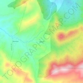
Name: Taghzoult topographic map, elevation, terrain.
Location: Taghzoult, Ouled Rached, Daïra Bechloul, Bouira, Algérie (36.22872 4.09013 36.26872 4.13013)
Average elevation: 781 m
Minimum elevation: 587 m
Maximum elevation: 1,065 m