
Rendel topographic map
Interactive map
Click on the map to display elevation.
About this map
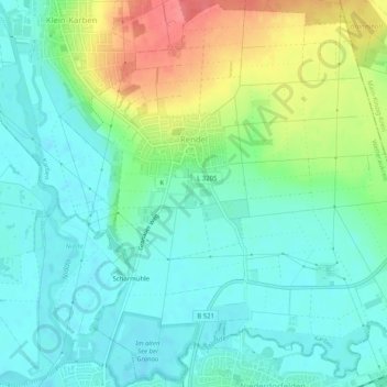
Name: Rendel topographic map, elevation, terrain.
Location: Rendel, Karben, Wetteraukreis, Hessen, Deutschland (50.19447 8.77506 50.22619 8.82579)
Average elevation: 126 m
Minimum elevation: 105 m
Maximum elevation: 174 m