
Bohorok topographic map
Interactive map
Click on the map to display elevation.
About this map
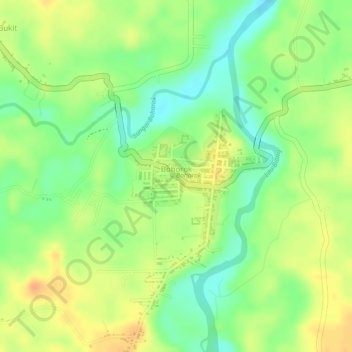
Name: Bohorok topographic map, elevation, terrain.
Location: Bohorok, Langkat, Nord-Sumatra, Indonesien (3.49024 98.17866 3.49994 98.18998)
Average elevation: 96 m
Minimum elevation: 74 m
Maximum elevation: 114 m